
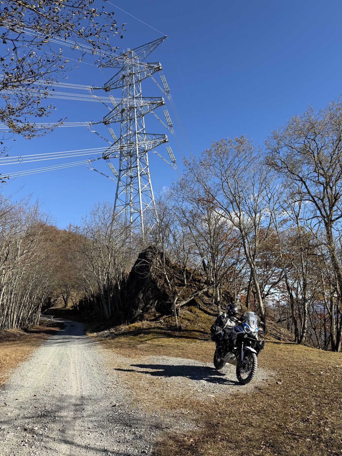
GUNMA, JAPAN / 11 NOVEMBER 2026
Cold air, loose gravel and an autumn forest.
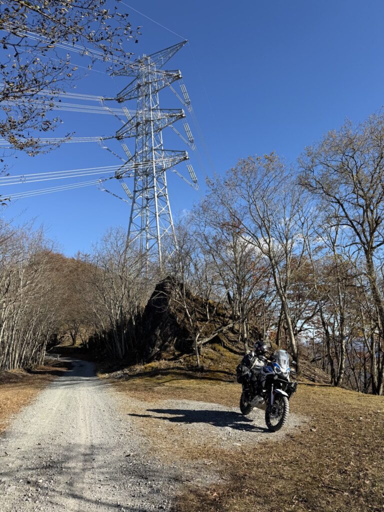
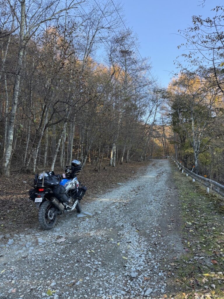
On 11 November I took Silver onto the dirt of Mikabo Super Forest Road. It was 5°C on the trail, and my recollection of the surface is a mixture that included loose gravel.
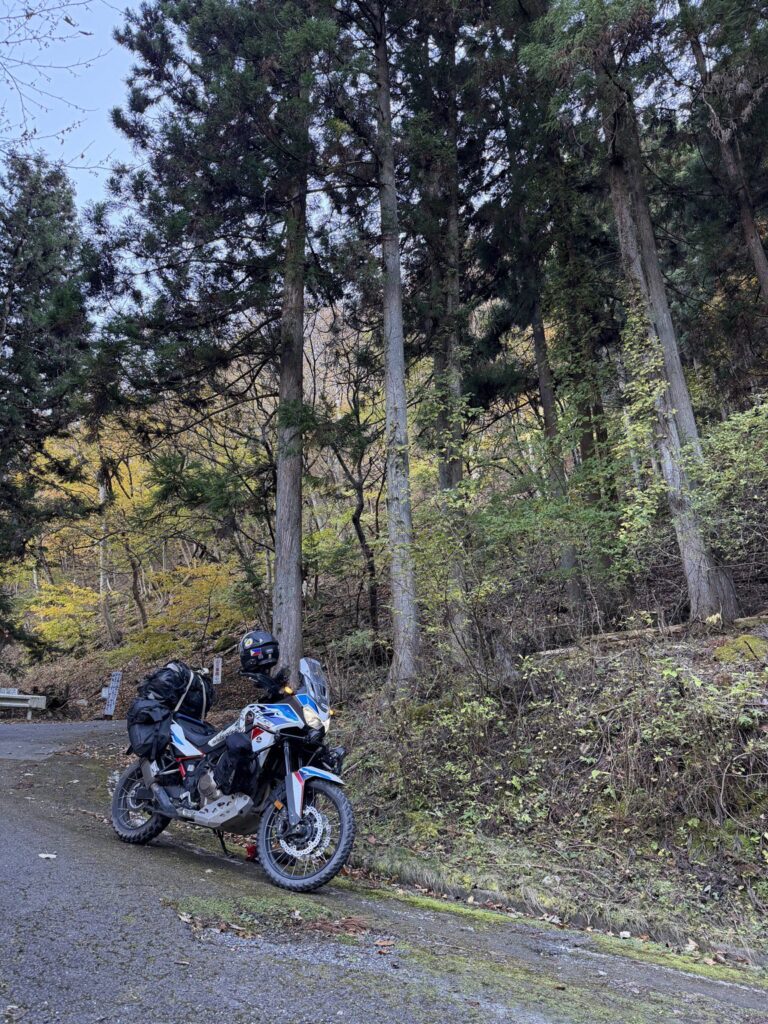
The photographs show the variation: finer, firmer-looking stretches, then more scattered stones and an uneven surface. Fallen leaves edged the track as I rode through with the Africa Twin loaded for travel.
Bare branches opened to a clear blue sky, with pockets of autumn colour still in the trees. One photograph catches Silver beneath a transmission tower, the gravel road curling away into the forest.
Matching the recording afterwards places this ride on the ridge west of Mikabo Forest Park, continuing to the junction area near Yakura Pass. That is the section documented here.
SELECTED RECORDING / 13.5 km / 5°C / LOADED SILVER
Forest-park area to the Yakura junction area, including local explorations. This is neither the full road nor a verified all-dirt distance.
The surface & the recorded line
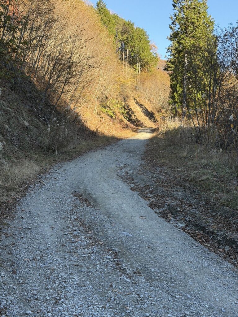
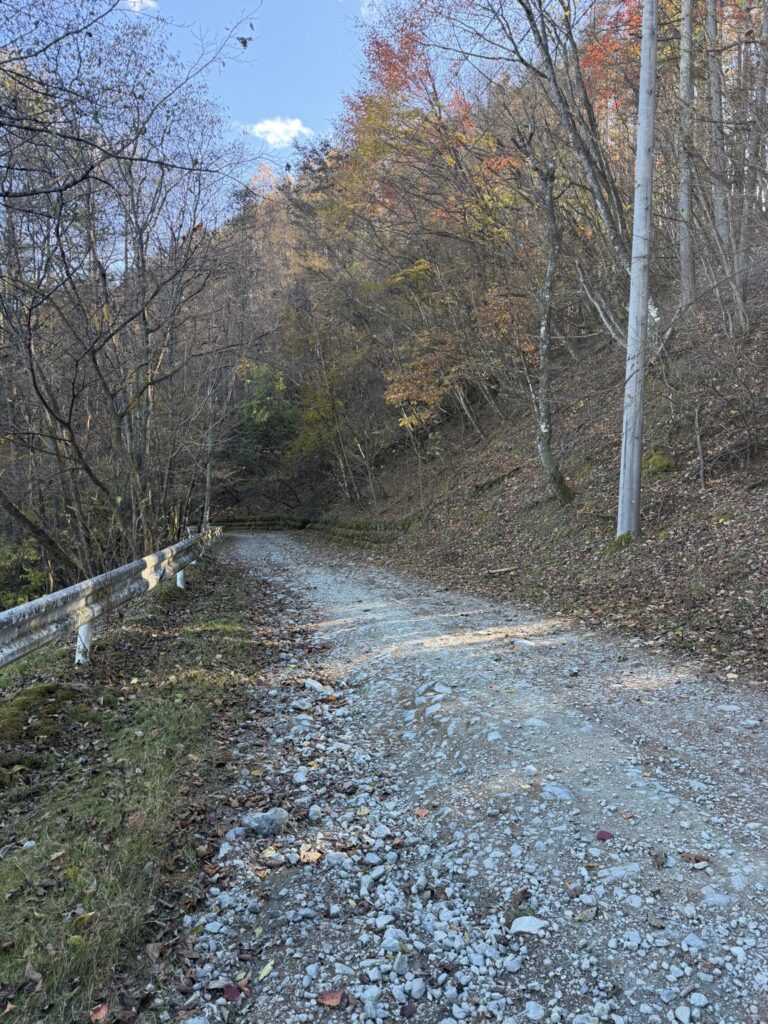
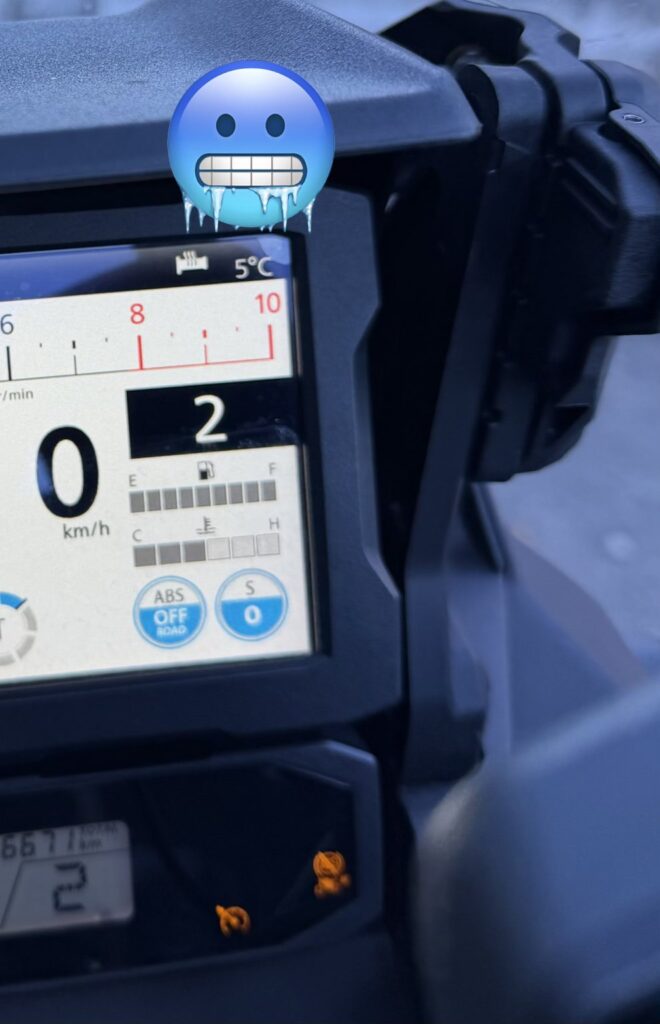
FULL RECORDED GEOMETRY / SCHEMATIC OVERVIEW
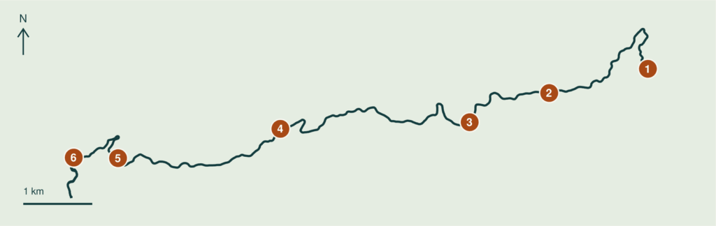
SIX REFERENCE COORDINATES / WGS84 / TAP TO OPEN GOOGLE MAPS
- 01 Selected start / forest-park area
36.150120, 138.867867 - 02 Forest ridge reference
36.146967, 138.851947 - 03 Akaguna-area reference
36.143160, 138.839120 - 04 Western ridge reference
36.142293, 138.808587 - 05 Approach to western junction
36.138467, 138.782400 - 06 Selected finish / Yakura area
36.138547, 138.775253
Two GPX files: the detailed excerpt keeps 1,890 points. The 49-point overview measures 12.6 km and cuts bends, deviating by up to about 50 m from the original line. Use it for overview only. The excerpt spans 13:48-14:38 JST: your stated start and an editorial cutoff near the western junction. Exact surface boundaries remain unconfirmed. Check current access before riding.
Words and photos: a rider from Australia. A personal ride record from autumn 2026. Access and road conditions change; check current information before riding.