
FUKUSHIMA, JAPAN / 14 NOVEMBER 2026
Following the turbines, then finding the solar hills.
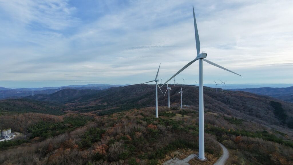
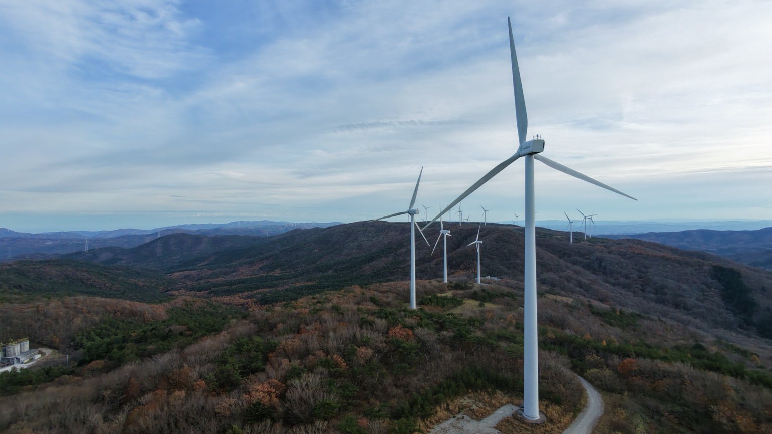
One turbine turning above the autumn leaves drew me in. Enormous and powerful, yet graceful – almost humble. I had left Iwaki with dirt trails in mind, but now I wanted to get closer.
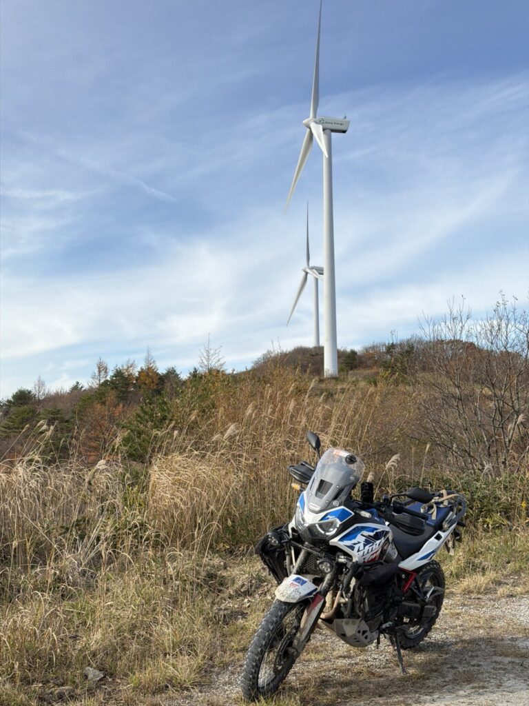
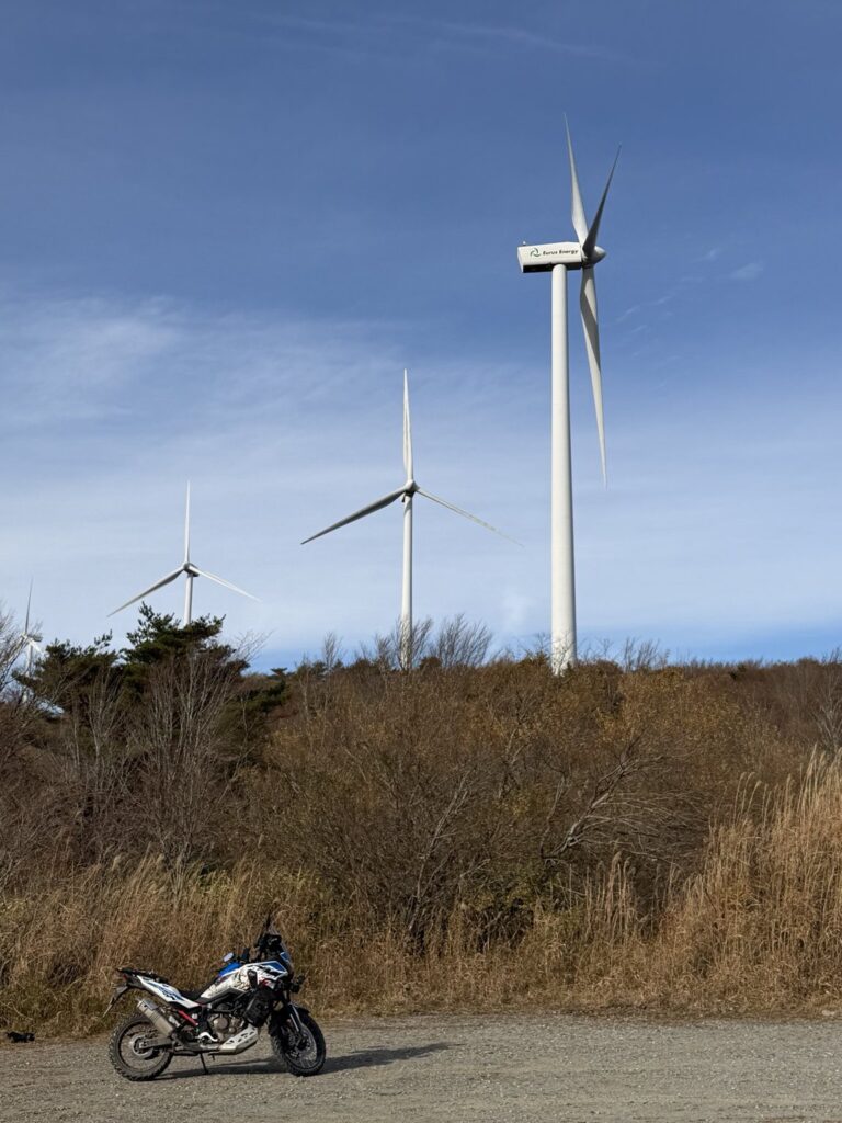
Standing beneath the blades, I could hear the hum and feel their scale. Silver, normally such a substantial bike, looked tiny. I stayed for nearly two hours without seeing another visitor, looking up, listening and taking photographs.
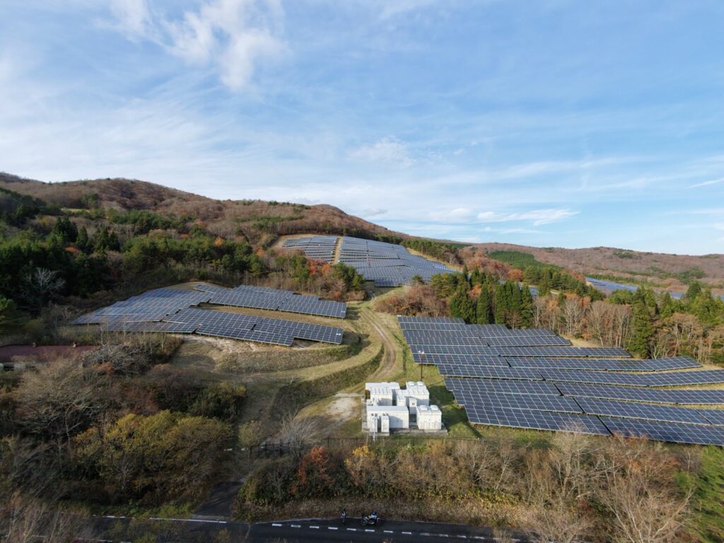
As I was leaving, I wondered what lay beyond the hill. Rows of solar panels spread across the slopes. An iPhone photograph could not convey their scale, so I changed the drone battery and launched again.
I would happily have stayed another hour. Daylight and falling temperatures finally drew me away. The planned loop remained unfinished, but I rode back to Iwaki pleased that I had followed my curiosity.
A LITTLE CONTEXT
Takine-Ojiroi began operating in December 2010: 23 turbines, 46 MW in total. The solar installation was previously matched by aerial-image comparison to Eurus Fukushima Kawauchi Solar Park, which began operating in July 2016.
The landscape & the line I rode
TURBINE-AREA RECORDING / SCHEMATIC
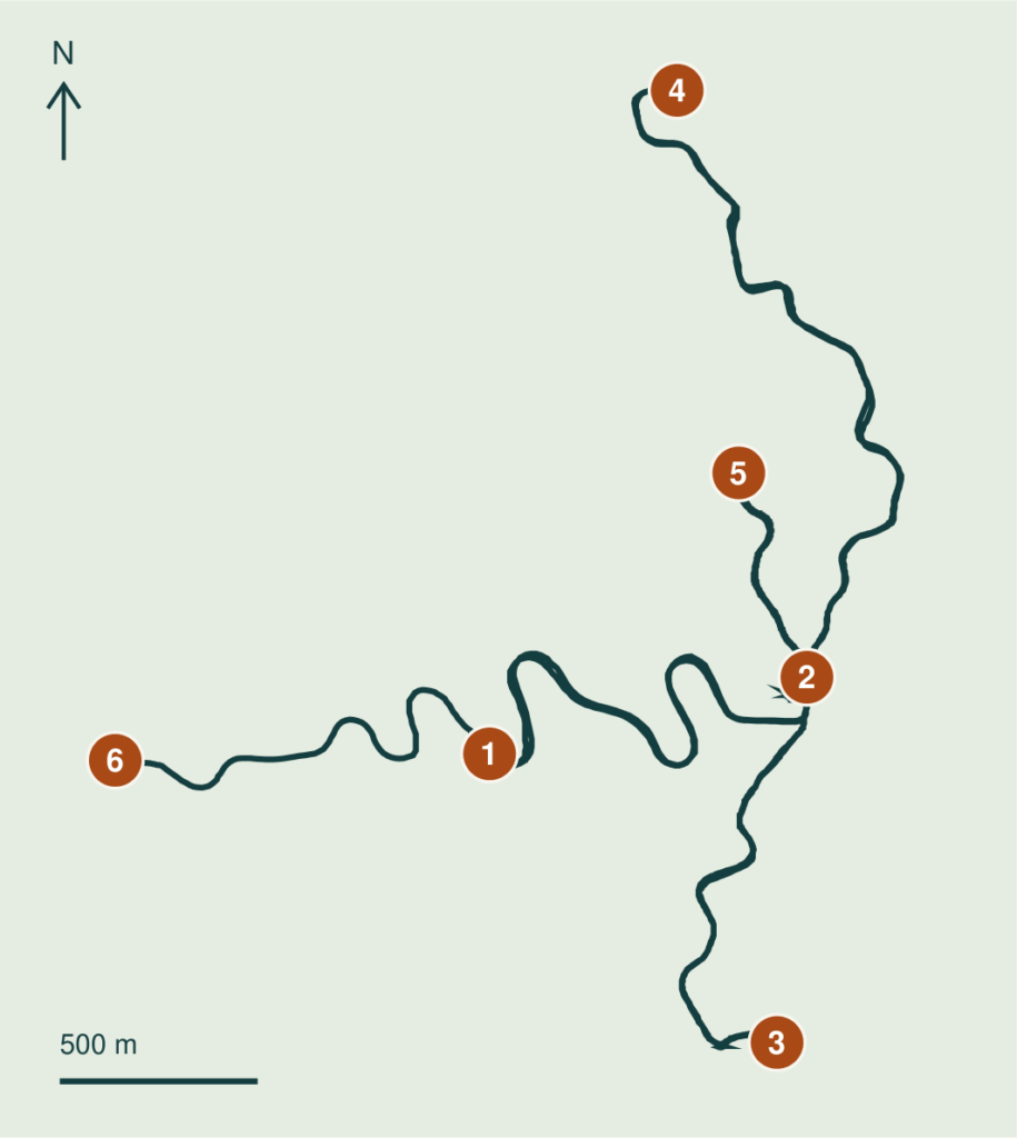
SIX REFERENCE COORDINATES / WGS84
Tap to open Google Maps / times in JST
- 01 Selected start / 13:48
37.326000, 140.710827 - 02 Turbine area / 14:00
37.327740, 140.719893 - 03 Southern spur / 14:19
37.319447, 140.719040 - 04 Northern photo stop / 14:49
37.341067, 140.716187 - 05 Return reference / 15:04
37.332380, 140.717947 - 06 Selected finish / 15:18
37.325853, 140.700133
Selected excerpt: 13:48-15:18, 16.1 km including retracing and stops. Endpoints are editorial cutoffs, not official trailheads. The 49-point overview is 14.0 km, with up to ~60 m deviation. Detailed excerpt and original full-day GPX also supplied. Full day: 230.4 km GPS; 234 km odometer. Dirt distance and off-road difficulty are not established.
Sources: rider’s 14 Nov GPX, photographs and journals; Eurus Energy project records. This historical recording does not establish current access or permission to enter site roads.
Words and photos: a rider from Australia. A personal ride record from autumn 2026. Access and road conditions change; check current information before riding.