
KOCHI, SHIKOKU / 29 OCTOBER 2026
Branching forest roads, changing gravel and knowing when to turn back.
I found these trails with ChatGPT’s help. Matching my photographs to the recording later placed the morning ride on Niogauchi and Ryuo, followed by a paved transfer and a partial exploration of Sakuyashiki, exiting on the Yasoko-Sakuyashiki connector.
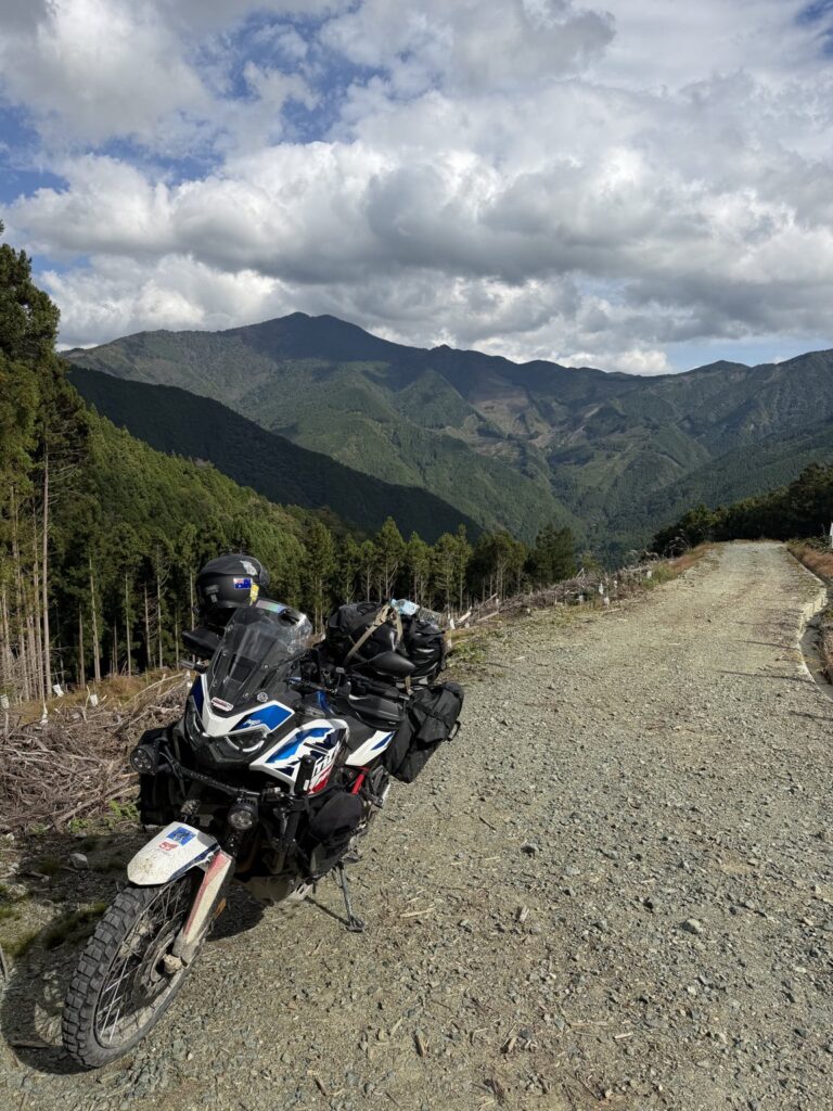
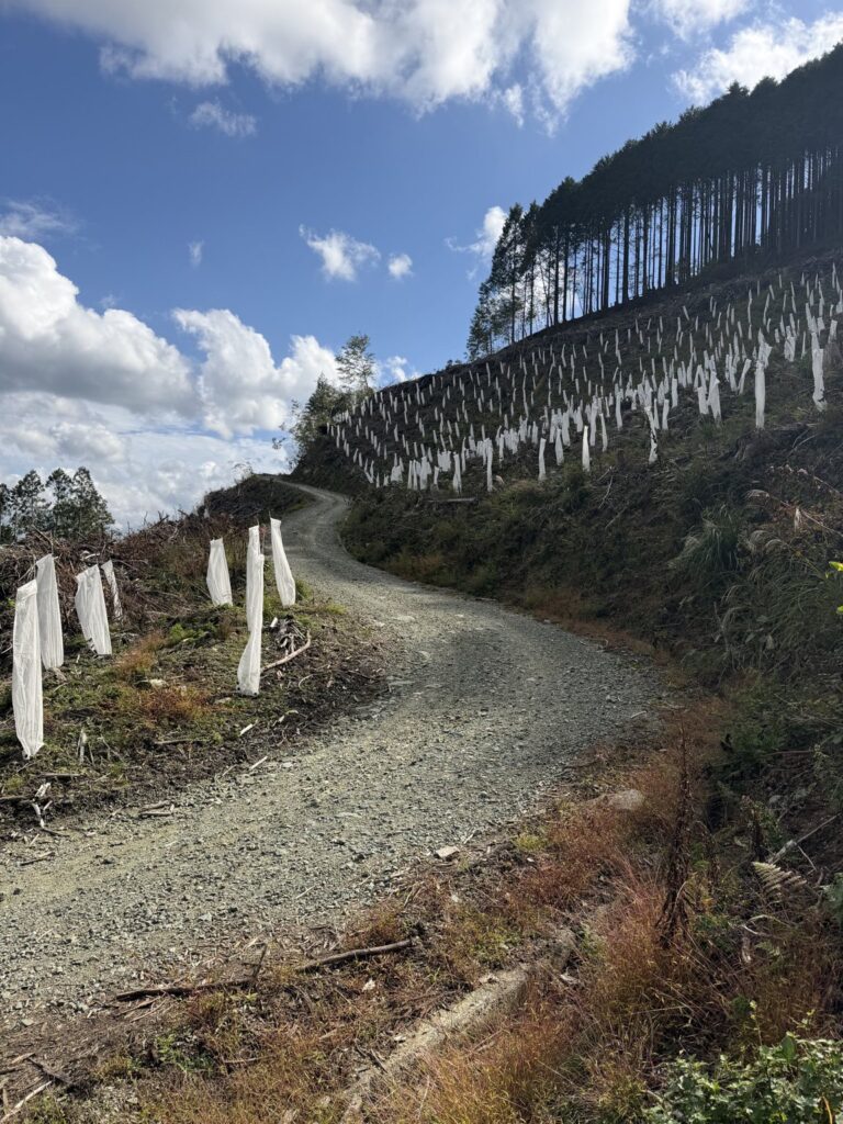
My recollection is of firm gravel mixed with medium-loose gravel. This was a network to explore: different branches offered different directions, rather than one simple line from entrance to exit.
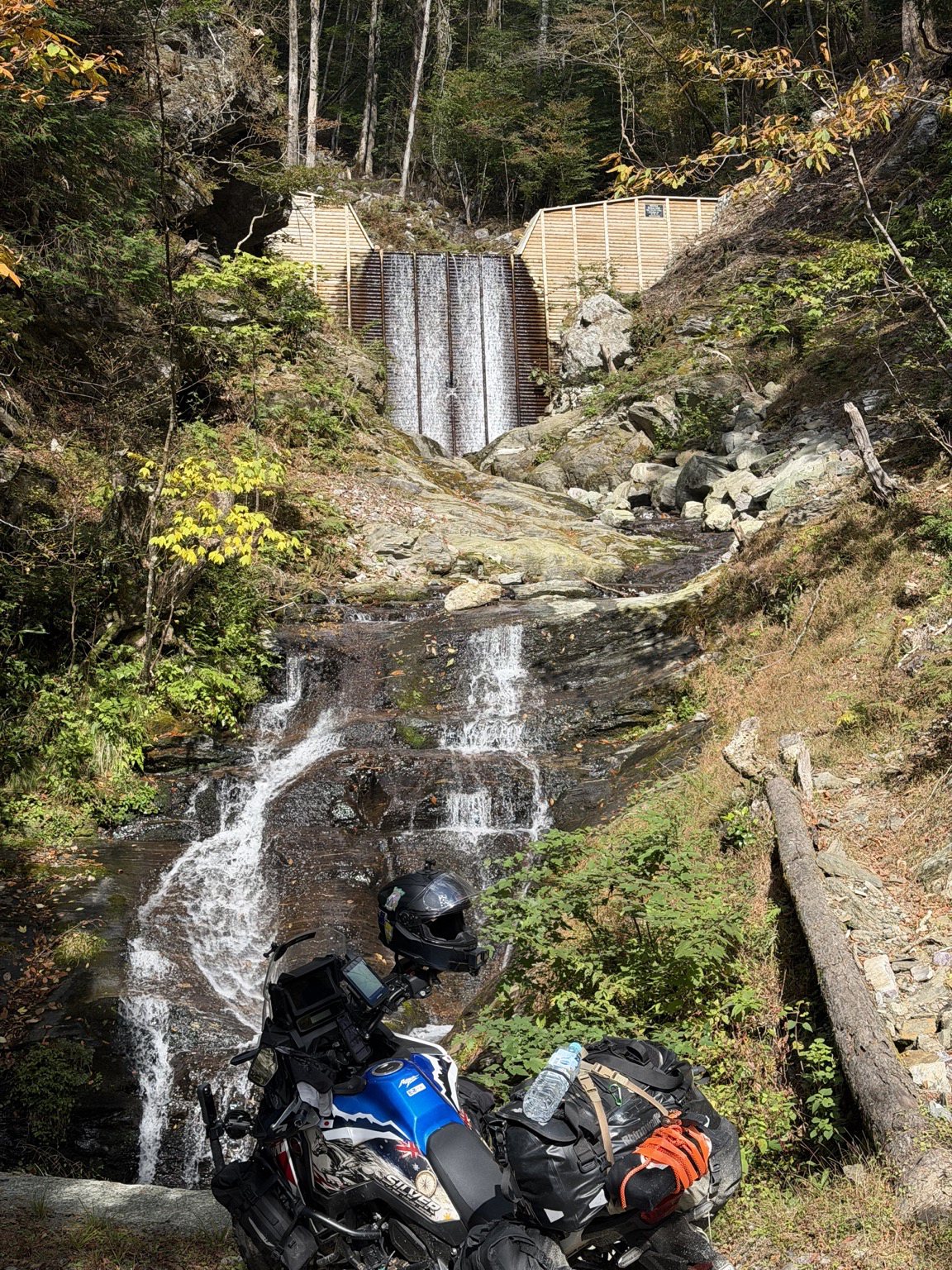
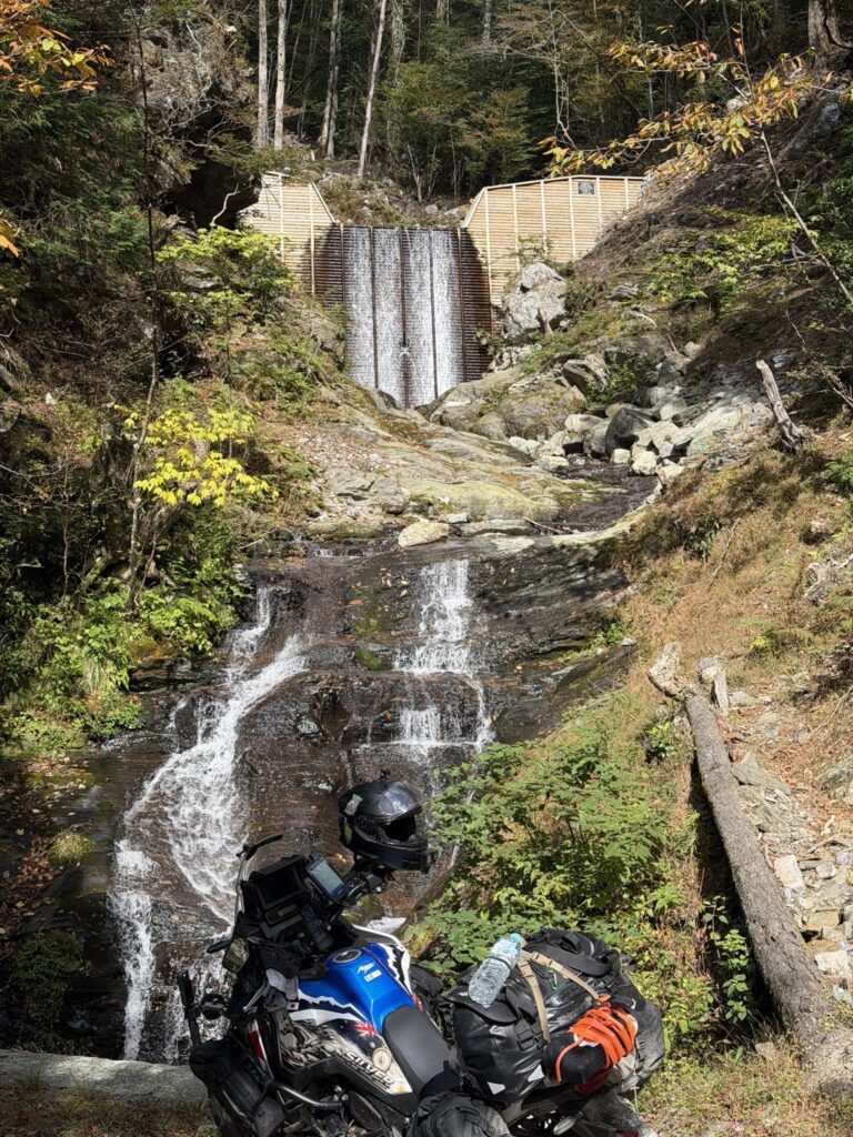
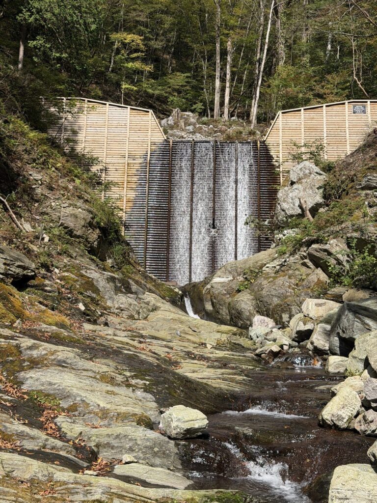
On Ryuo, I stopped beside a timber-faced water-control structure and water cascading over the rocks. The photograph at 11:53 became a useful anchor for identifying the ride afterwards.
One branch brought me to a deep drain running across the road. On the heavier, loaded Africa Twin, I judged it too deep to cross. I turned Silver around and went to explore elsewhere.
Some grass and shrubs were encroaching on the trail. It felt lightly used to me, although that was an impression, not a confirmed measure of traffic.
The useful record is the ride I actually made, with its explorations and the paved section connecting the two dirt outings. It does not establish a full traverse of Sakuyashiki. The later ride to my lakeside lunch at Sameura is outside this GPX.
ORIGINAL RECORDING / 37.4 km including paved connection and explorations
10:48:35 – 13:40:06 JST / Honda Africa Twin CRF1100L
The recorded ride & the shared GPX
FULL RECORDING OVERVIEW
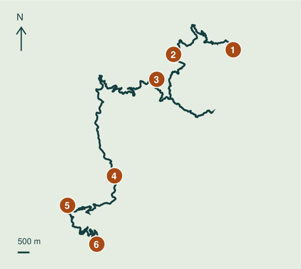
SIX REFERENCE COORDINATES
- 01 Start: Niogauchi east end
33.858830, 133.612907 - 02 11:09 – Niogauchi
33.857057, 133.585573 - 03 11:53 – Ryuo water structure
33.847567, 133.577880 - 04 12:42 – paved transfer
33.810780, 133.558480 - 05 13:10 – Sakuyashiki
33.799523, 133.536973 - 06 Finish: lower connector exit
33.784710, 133.550373
Shared GPX: exactly 49 points. Simplification cuts bends: its line measures 28.7 km versus the original 37.4 km, with up to about 195 m deviation. Use it as an overview, not precise trail navigation. Map above uses all 6,303 recorded points. Endpoints follow historical map boundaries, not verified surface changes. Exact drain location is unconfirmed. This records the ride date, not current access.
Words and photos: a rider from Australia. A personal ride record from autumn 2026. Access and road conditions change; check current information before riding.