
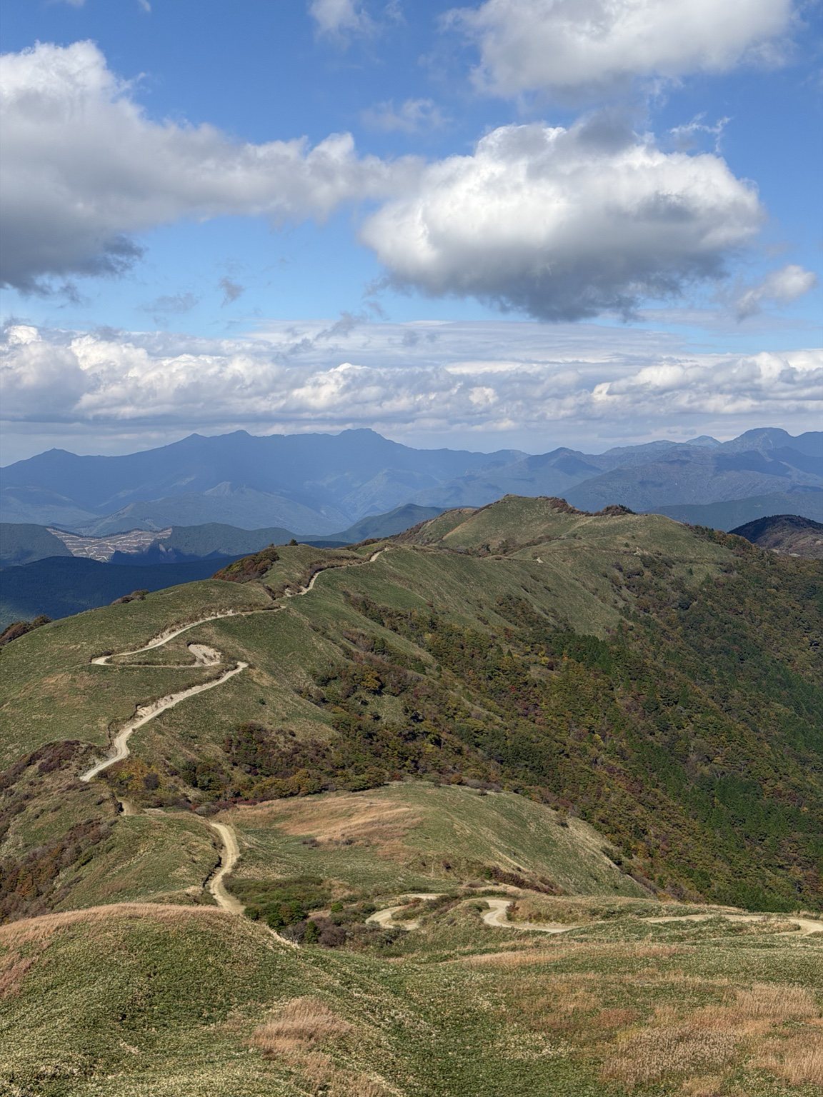
SHIKOKU, JAPAN / 21 OCTOBER 2026
A rider’s recommendation. An irresistible ridgeline.
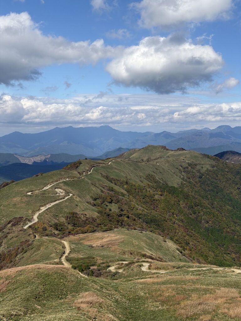
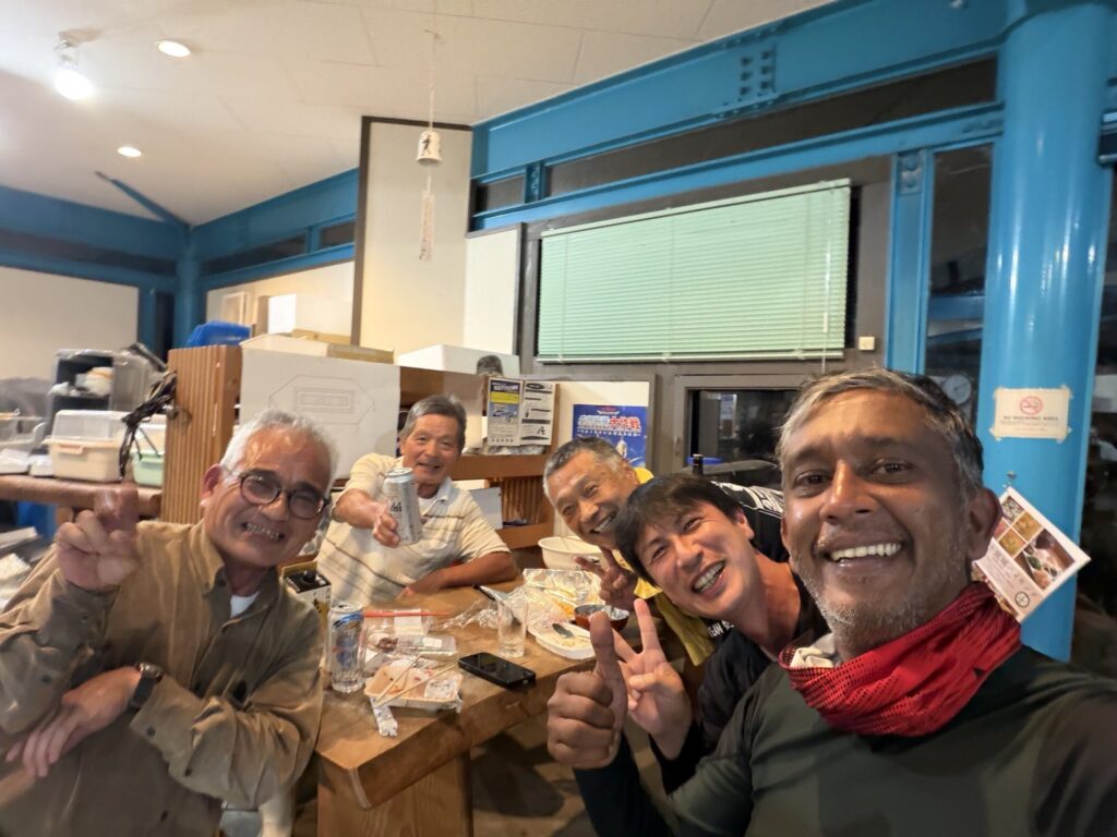
I first heard about this road from Atsu, a rider I met at Riders Inn Oku-Monobe, before heading to Kumamoto. His photographs made me want to ride it myself. Without that encounter, I might never have found it.
On 21 October I left Riders Inn Shimanto reasonably early and rode through the Ehime side of Shikoku Karst. The paved roads were fantastic, with autumn colour worth stopping for. But the dirt ridgeline was the part I had been looking forward to.
Finding the entrance took time: Google Maps and my Garmin Montana were not quite getting me there. The final approach was narrow and paved, with hairpin after hairpin calling for care.
Then the mountains opened out beneath a clear sky. Looking down at that pale track winding over the grassy ridge, I could hardly resist it. Atsu’s photographs had brought me here; now Silver and I could follow the line for ourselves.
UNDER THE TYRES
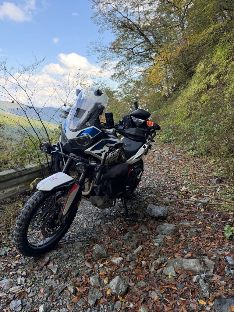
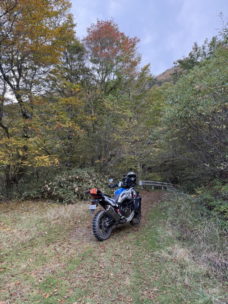
Smooth gravel at first, followed by a descent with loose, medium-sized rocks. The second half needed more careful line choice. There was space to turn around at the end; the return climbed back over the same ground.
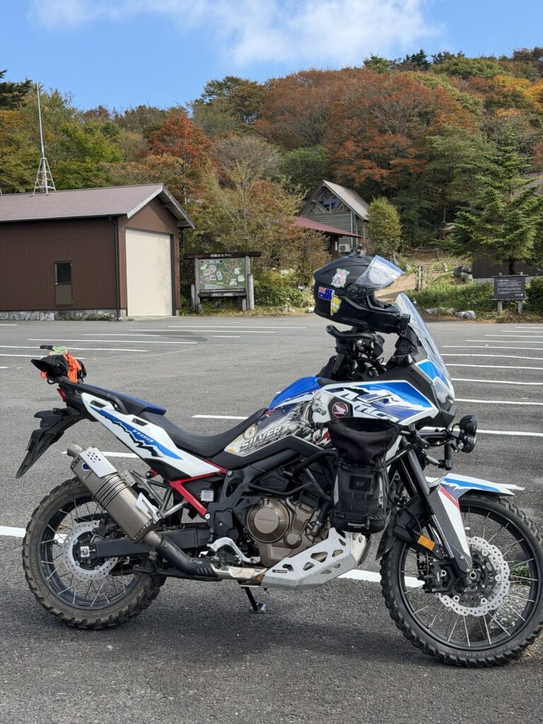
SILVER / Honda Africa Twin CRF1100L
Ridden with luggage on Metzeler Karoo 4 tyres. Loaded weight was not measured for this ride.
GPX-MEASURED / approx. 4.1 km each way · 8.2 km return · paved climb excluded
TENKŪ NO RINDŌ / NEAR NAKATSU MYŌJIN-YAMA
The surface. The line I rode.
RECORDED OUT-AND-BACK
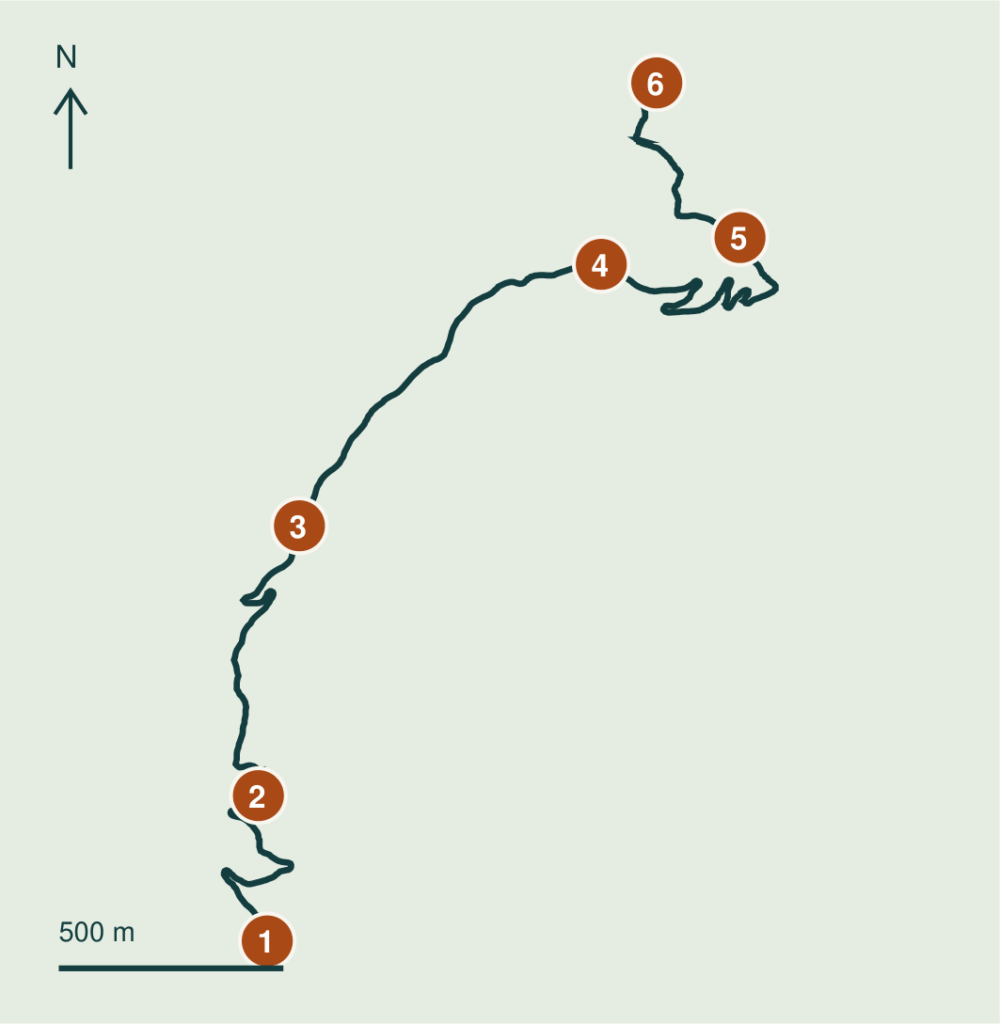
SIX REFERENCE COORDINATES
WGS84 / LATITUDE, LONGITUDE
- 01 Dirt-road junction
33.575833, 133.048240 - 02 Upper switchbacks
33.578743, 133.048027 - 03 Ridge reference
33.584147, 133.049013 - 04 Eastward bend
33.589383, 133.056267 - 05 Lower trail reference
33.589920, 133.059600 - 06 My turnaround
33.593017, 133.057600
Distance and overview use my 21 October 2026 recording. Point-to-point GPX distances exclude the paved approach and summit visit; GPS error makes them approximate. Tap a coordinate for Google Maps. Pins are reference points, not turn-by-turn directions. Check current access and conditions before riding.
Words and photos: a rider from Australia. A personal ride record from autumn 2026. Access and road conditions change; check current information before riding.