
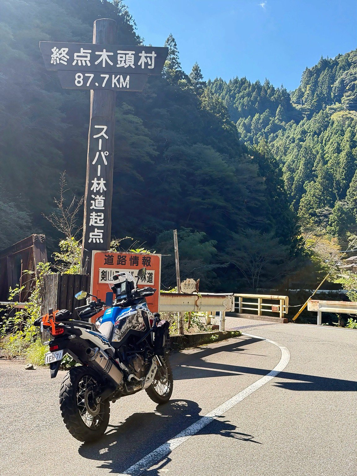
SHIKOKU, JAPAN / 23 & 28 OCTOBER 2026
Forest tracks, mountain lunches and a warm welcome.
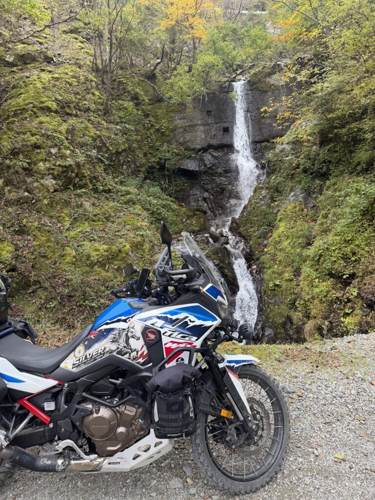
Silver, loaded: Honda Africa Twin. Up to 300 kg with luggage (estimated; excludes rider).
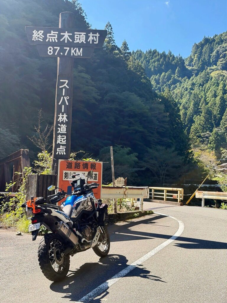
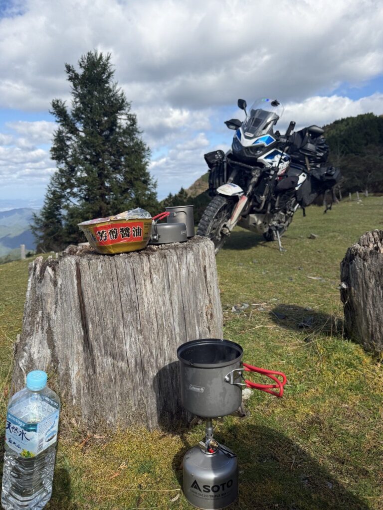
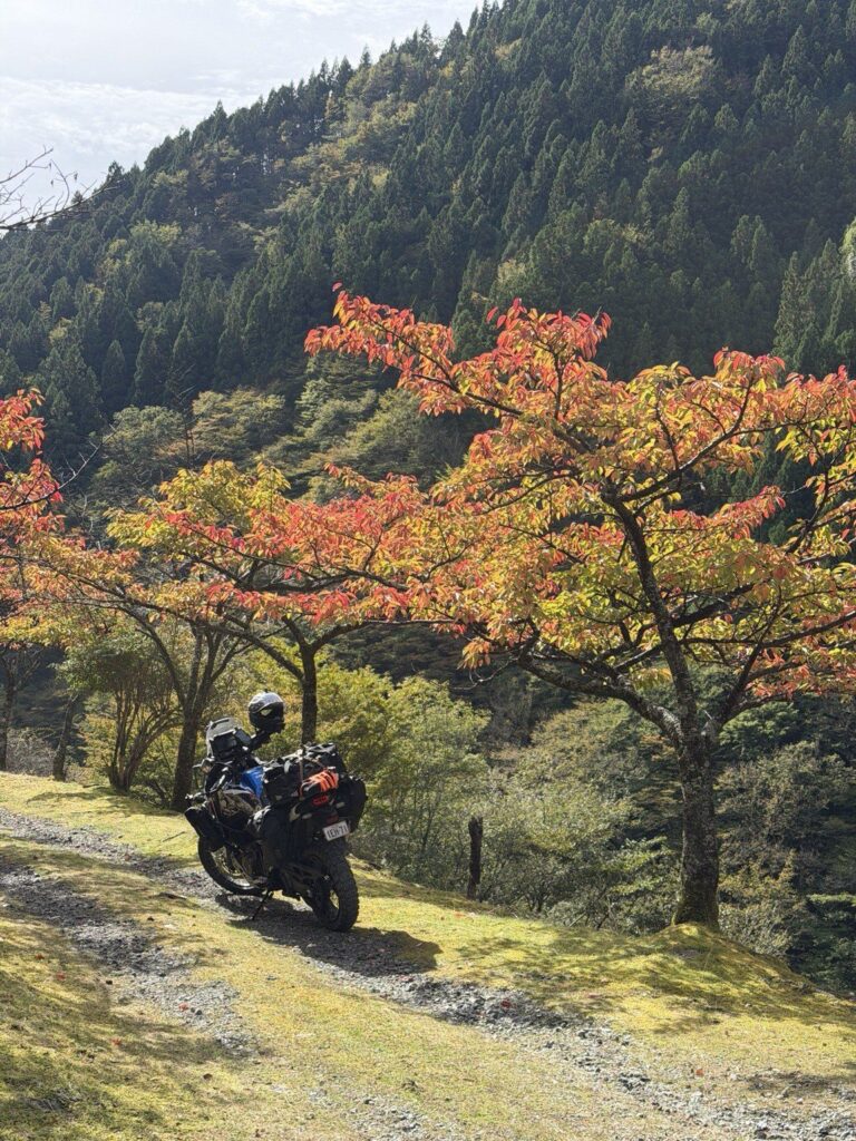
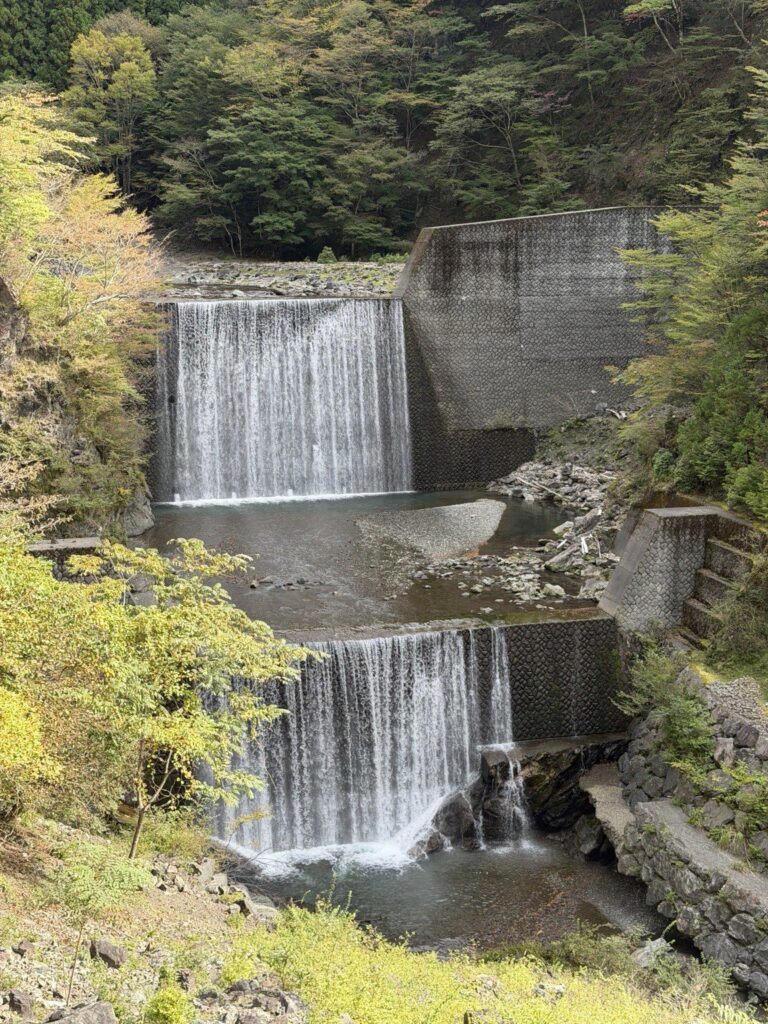
I took Silver into the mountains with my luggage aboard and soon found myself stopping as much for the scenery as for the riding. Clear streams, waterfalls and autumn colour gave me plenty of reasons to linger. There were stretches where the bike and I found a lovely rhythm, followed by another view worth pulling over for.
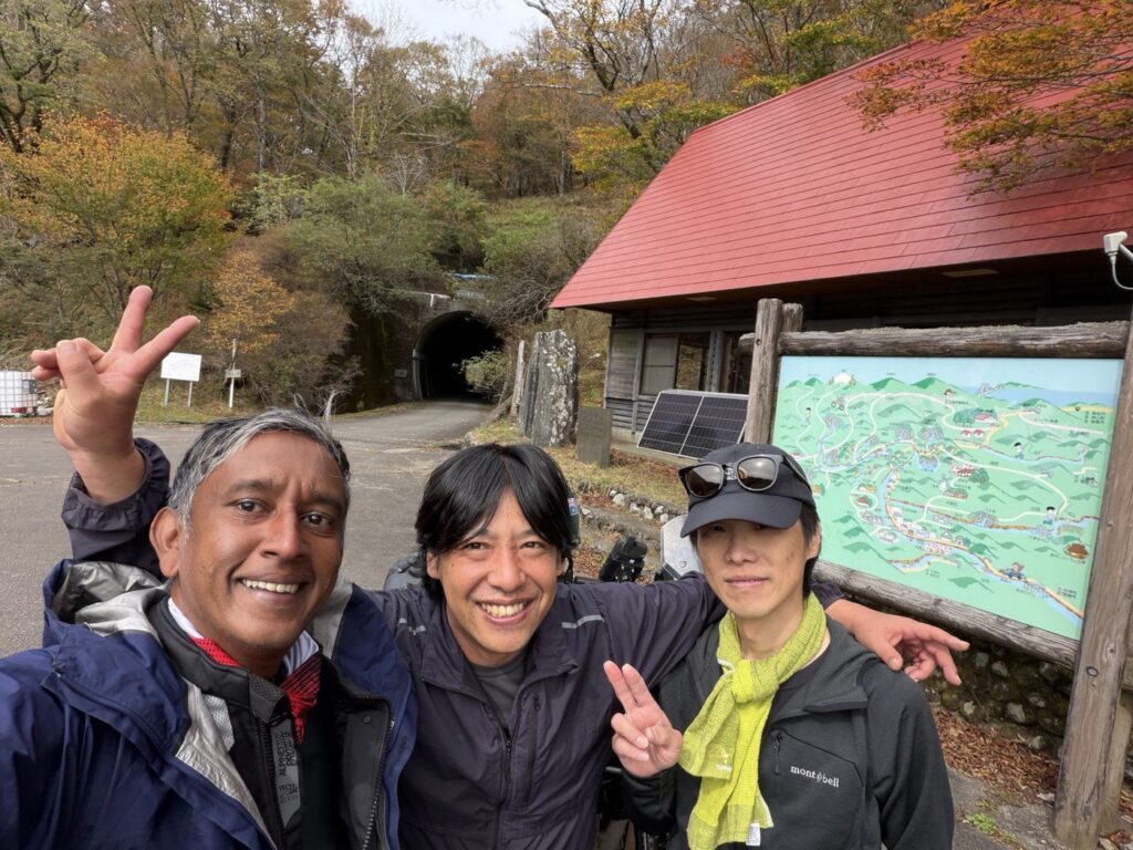
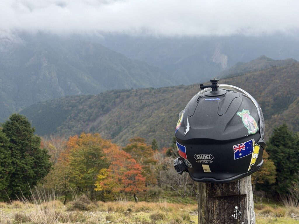
I stopped for coffee at the little café just beyond the tunnel. The owner was fascinated by Silver’s Australian registration and curious about my journey through Japan. He seemed delighted that I had found my way to his café.
He gave me an Island Bear sticker, which went straight onto Silver. Before I left, he showed me where the road ahead was closed and explained the detour. It was a warm welcome and useful local advice rolled into one coffee stop.
I returned on 28 October to explore the eastern section I had missed. That visit brought a picnic beside Silver and a chat with another Japanese rider, with the mountains spread out behind us. Those quiet stops belong in the memory just as much as the gravel. This is a road I’d leave time to enjoy.
UNDER THE TYRES
A mix of firm gravel and sections with loose, larger rocks. Paved stretches also feature, including the detour I used around a closure.
RIDE YOUR OWN LINE
The companion GPX is my personal ride recording from these two dates, including the paved detour. Check current access, closures and conditions, and choose suitable alternatives where needed.
TSURUGISAN SUPER FOREST ROAD
The scenery. The line I rode.
A few reasons to linger, with six reference points for your own ride.
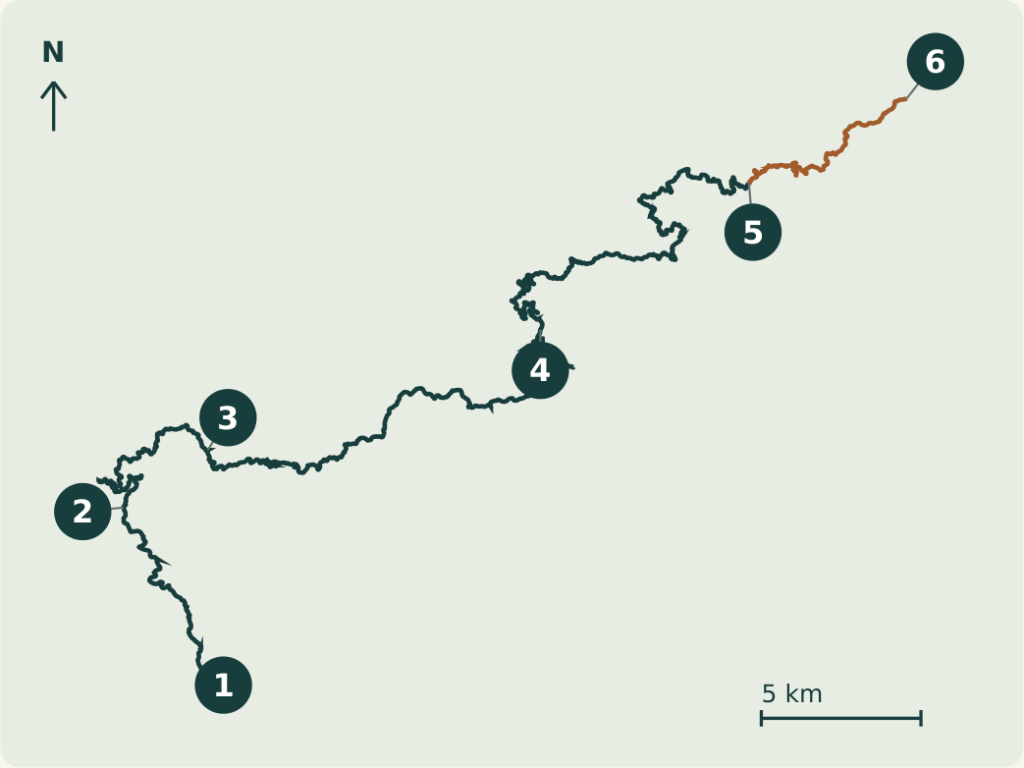
SIX REFERENCE COORDINATES
WGS84 / LATITUDE, LONGITUDE
- 01 Western entrance
33.772643, 134.084973 - 02 Waterfall reference
33.818043, 134.058067 - 03 Okuyarido cafe
33.834140, 134.086533 - 04 Central route reference
33.868177, 134.199413 - 05 Route 193 junction
33.909397, 134.270160 - 06 Eastern exit
33.933267, 134.323720
Tap a coordinate to open its pin in Google Maps, or type the pair into your map app. These are reference pins, not turn-by-turn directions. The recorded line includes paved sections and the detour; check current access before riding.
Words and photos: a rider from Australia. A personal ride record from autumn 2026. Access and road conditions change; check current information before riding.