
SHIKOKU, JAPAN / 27 OCTOBER 2026
Rain-firmed gravel. A broken bridge. A second ride through the forest.
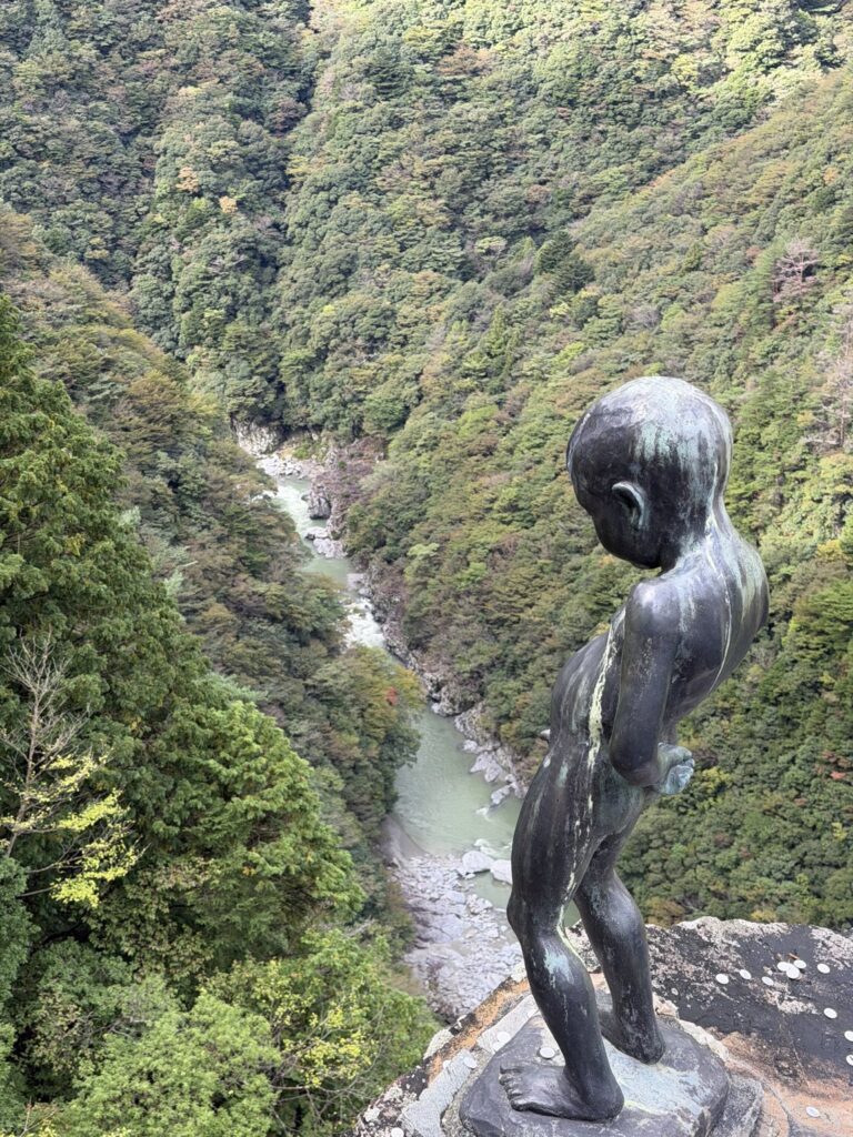
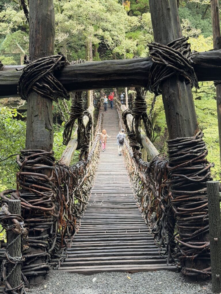
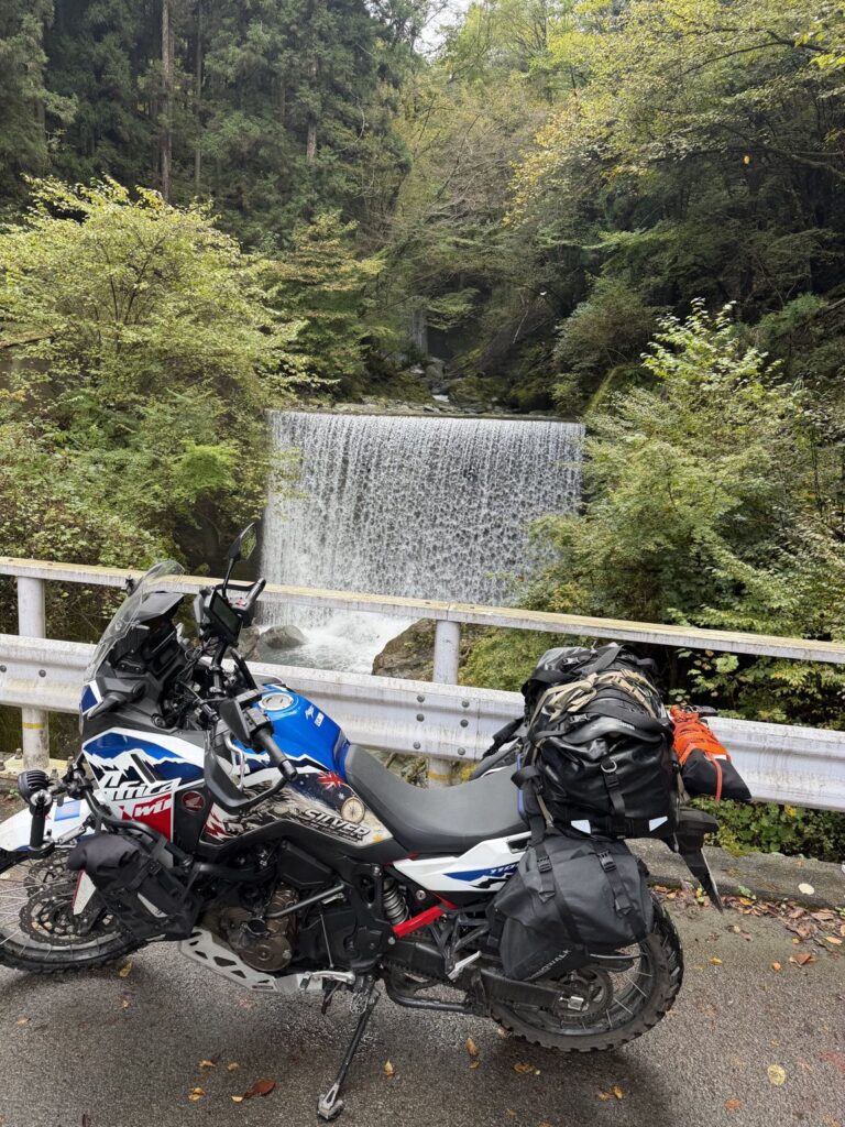
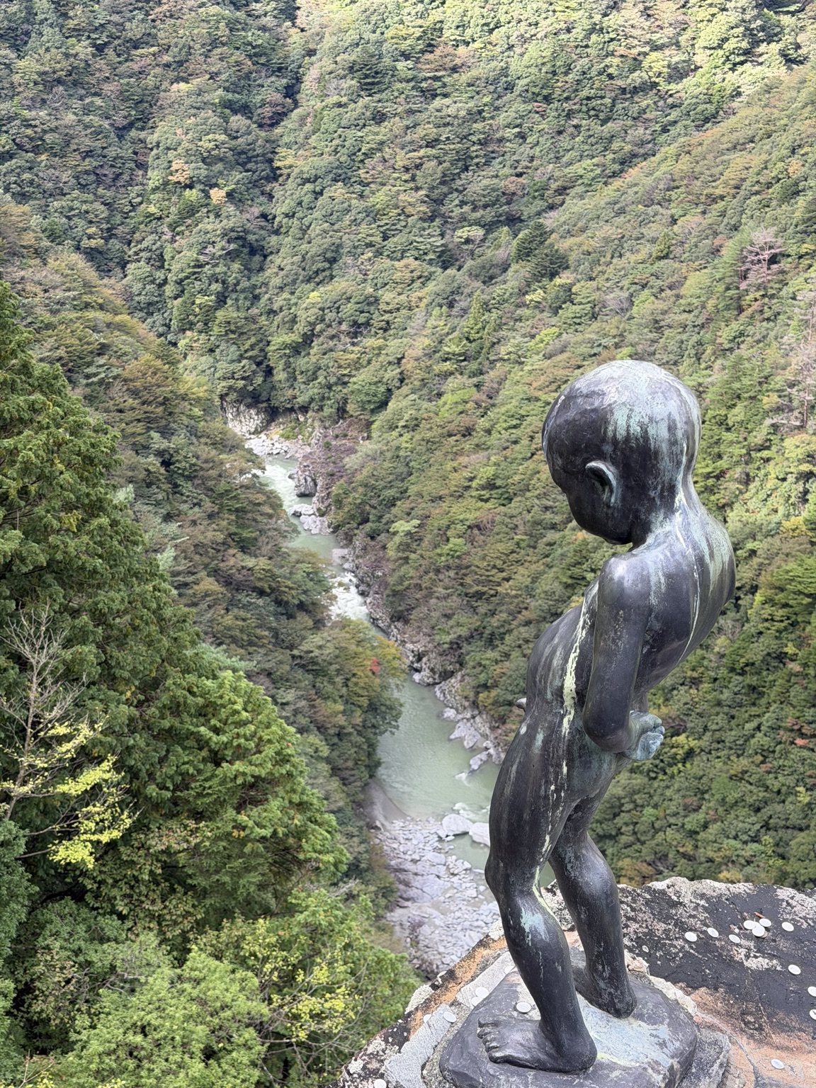
With ChatGPT’s help, I’d identified the Kyobashira-Yahazu Pass trail as a dirt-road adventure to explore on my ride from Miyoshi to Kōchi.
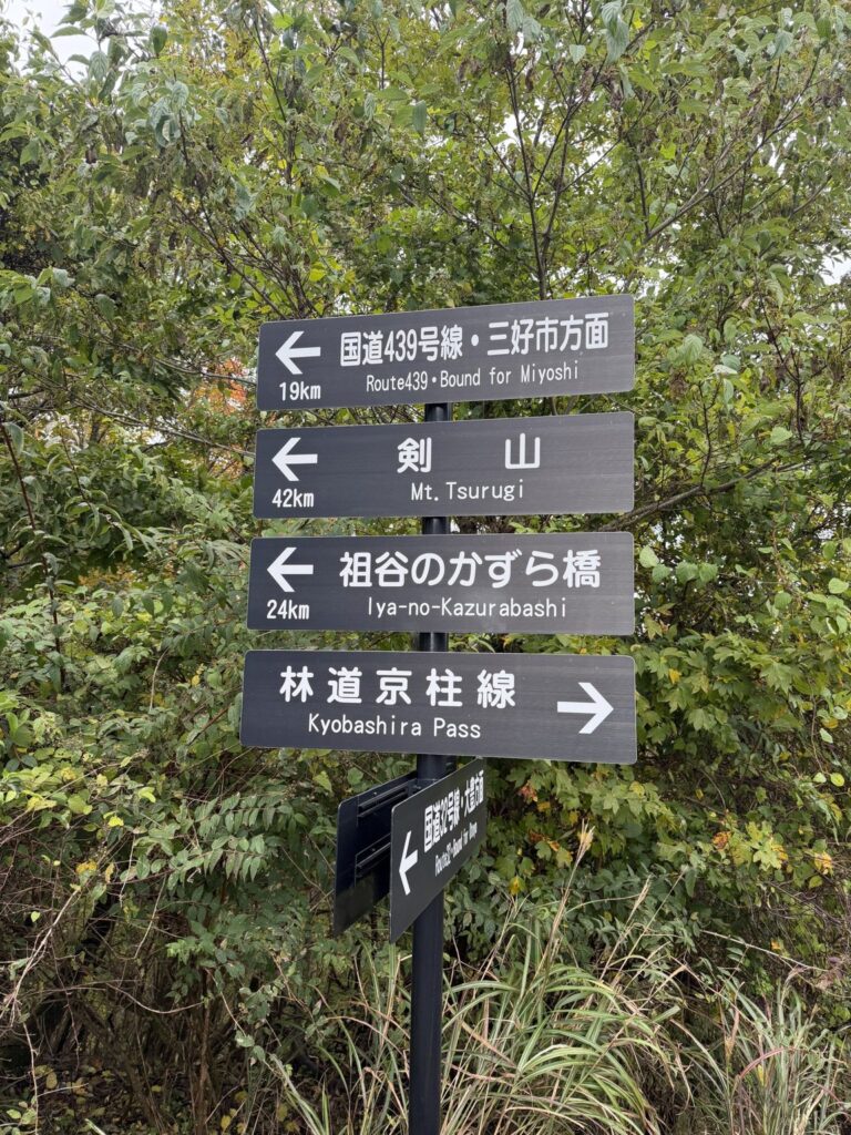
The morning took me to the Peeing Boy statue above Iya Valley, then the vine bridge. Further along, I stopped to photograph Silver, loaded for travel, beside cascading water. There was plenty to enjoy before the dirt even began.
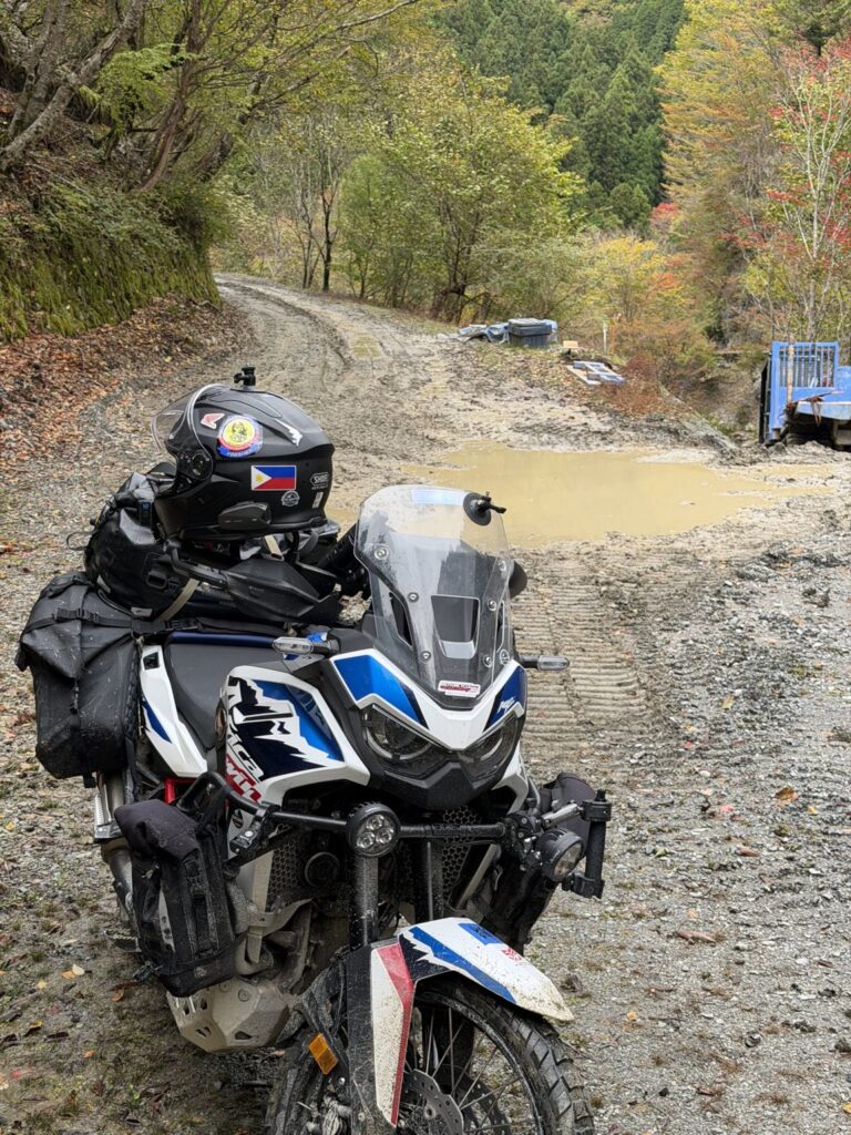
The trail made a welcoming start. Recent rain had left the gravel firm and compact, with little loose material. It was a decent run in on the loaded Africa Twin.
The last kilometre or two before the bridge needed more care. Water was flowing over the road, and forestry machinery had disturbed the soil. There was still a firm base, but the wet, worked-over surface was slippery.
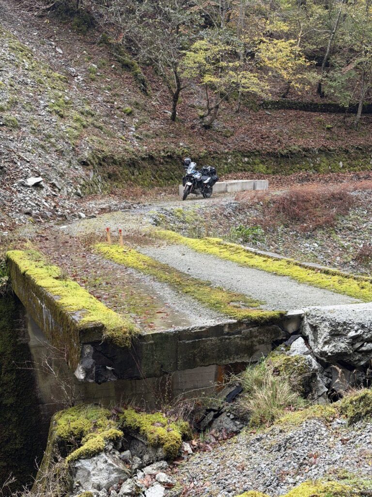
I’d expected an approximately 11.2 km through-route. Instead, around 10 km in, I reached a broken bridge. I reckoned I was only about a kilometre short of coming out the other side.
A narrow section remained, and it looked as though I might be able to get the motorcycle across. But a forestry worker made it clear that I was prohibited from attempting the crossing and needed to turn back. I followed his instruction.
That was fine by me: returning the same way meant more dirt to ride. The recording measures about 10.0 km to the bridge and 20.0 km out and back.
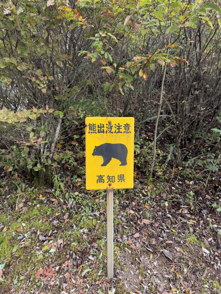
I also noticed deer in cage traps along the trail. Every trap I saw was occupied, and I wondered what would happen to them. After retracing the forest road, I continued on to Kōchi City.
GPX-MEASURED / approx. 10.0 km to the bridge · 20.0 km out and back
Trail section only; paved approach and onward travel to Kōchi excluded.
The bridge that ended the through-ride.
27 OCTOBER 2026: CROSSING PROHIBITED AT THE BRIDGE
I turned back as instructed by the forestry worker. This records that day’s experience; current access has not been established.
RECORDED OUT-AND-BACK
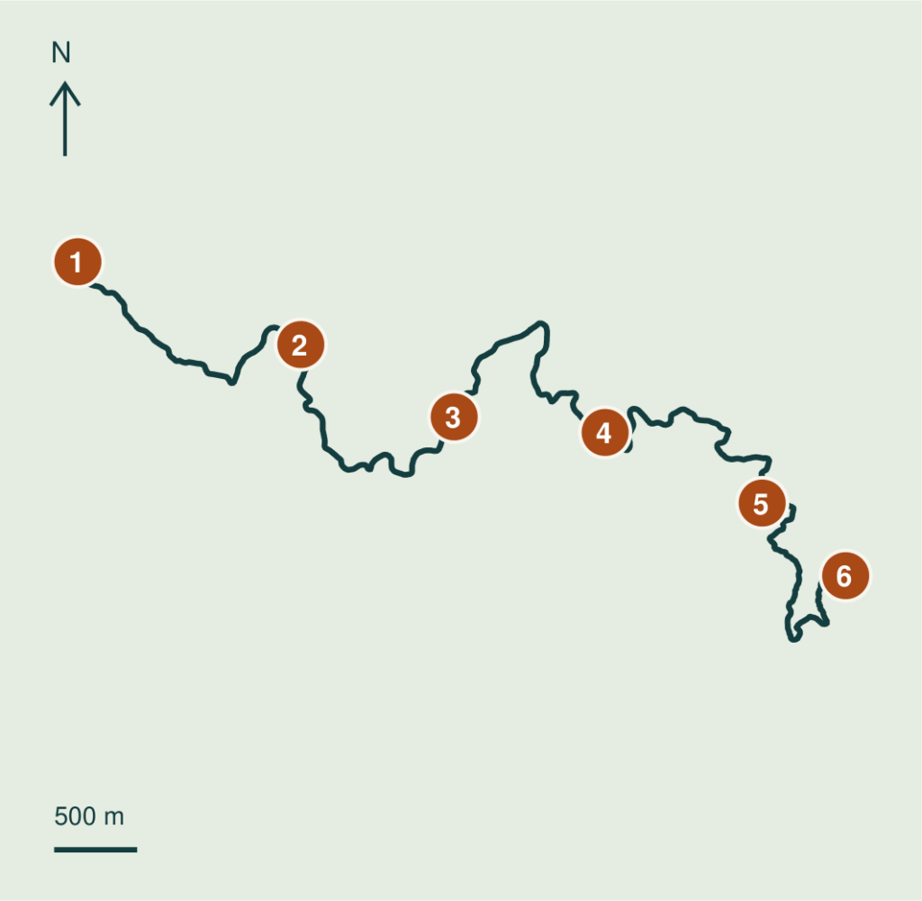
SIX REFERENCE COORDINATES
- 01 Trail entrance / return
33.824170, 133.861920 - 02 Along the trail – about 2 km
33.819683, 133.876453 - 03 Along the trail – about 4 km
33.815763, 133.886453 - 04 Along the trail – about 6 km
33.814920, 133.896293 - 05 Along the trail – about 8 km
33.811097, 133.906533 - 06 Broken bridge / turnaround
33.807160, 133.911973
Silver: Honda Africa Twin CRF1100L, travel luggage, Metzeler Karoo 4 tyres. Distances sum recorded GPX point-to-point segments and include GPS error. WGS84 coordinates; pins 2-5 are distance references, not junctions or surface boundaries. Tap coordinates for Google Maps.
Words and photos: a rider from Australia. A personal ride record from autumn 2026. Access and road conditions change; check current information before riding.