
JAPAN / 1 NOVEMBER 2026
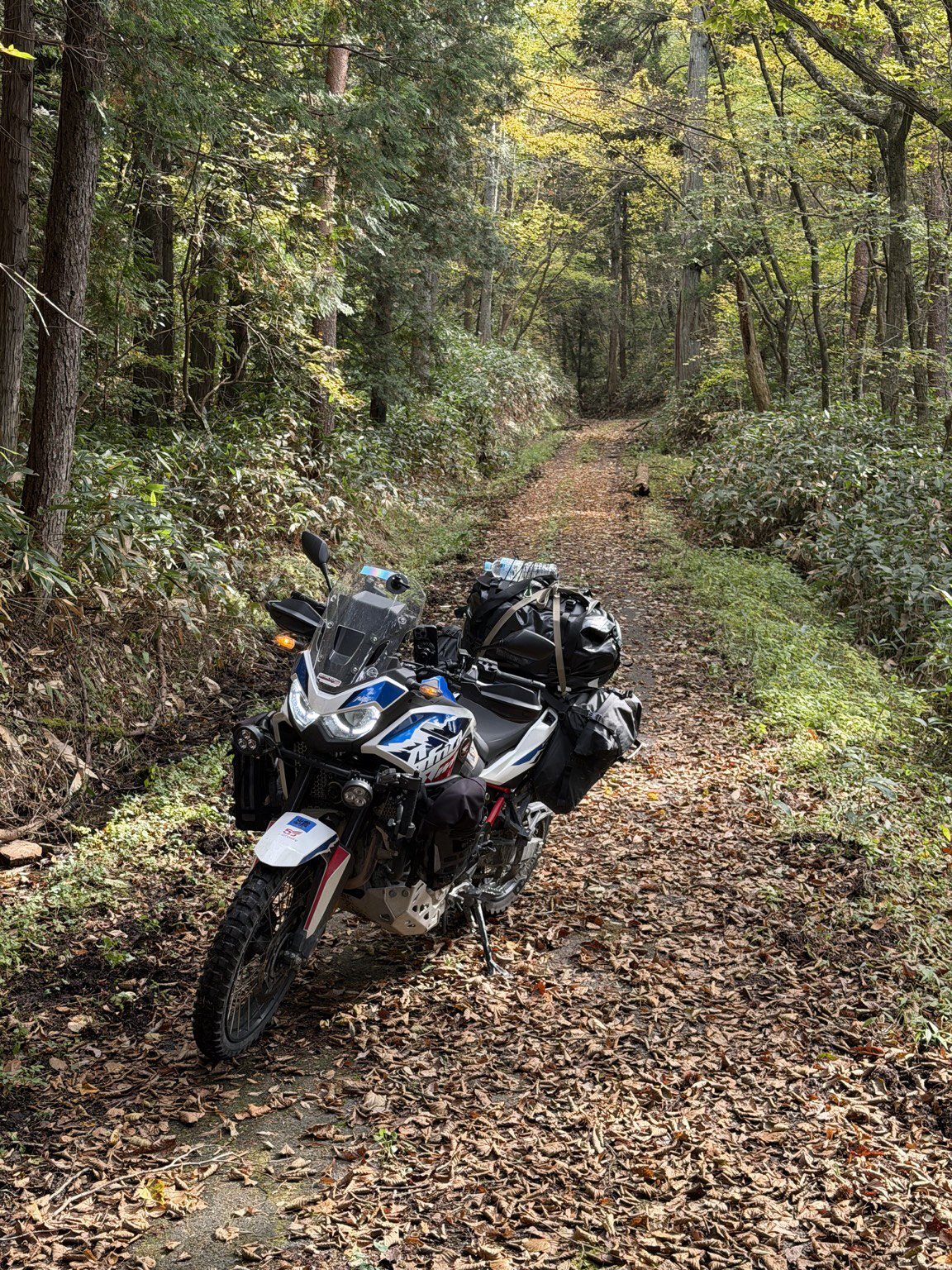
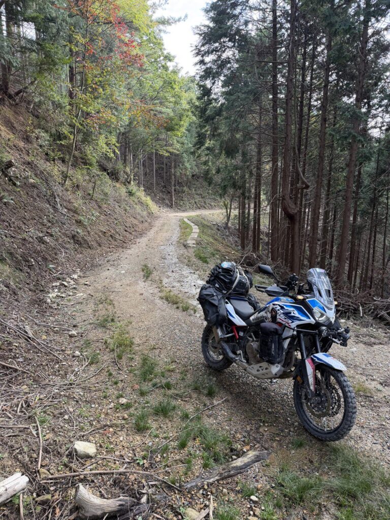
Shindōro Forest Road, Misato, Shimane Prefecture.
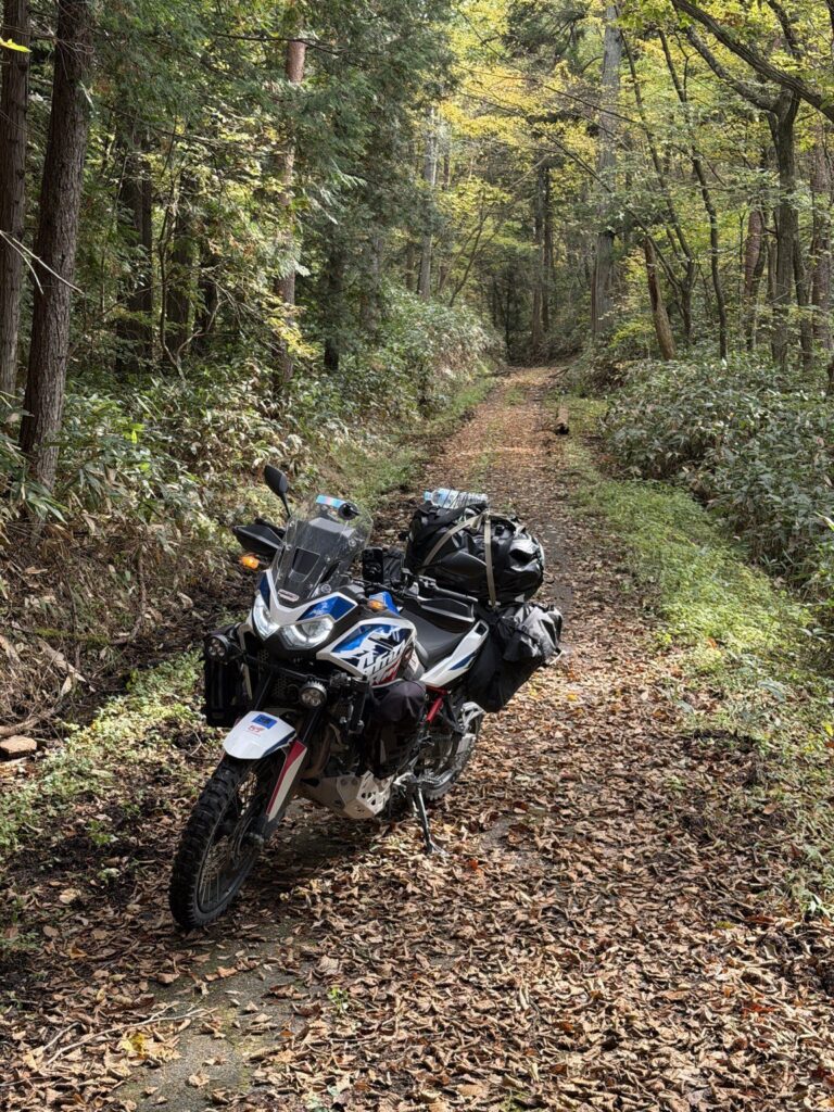
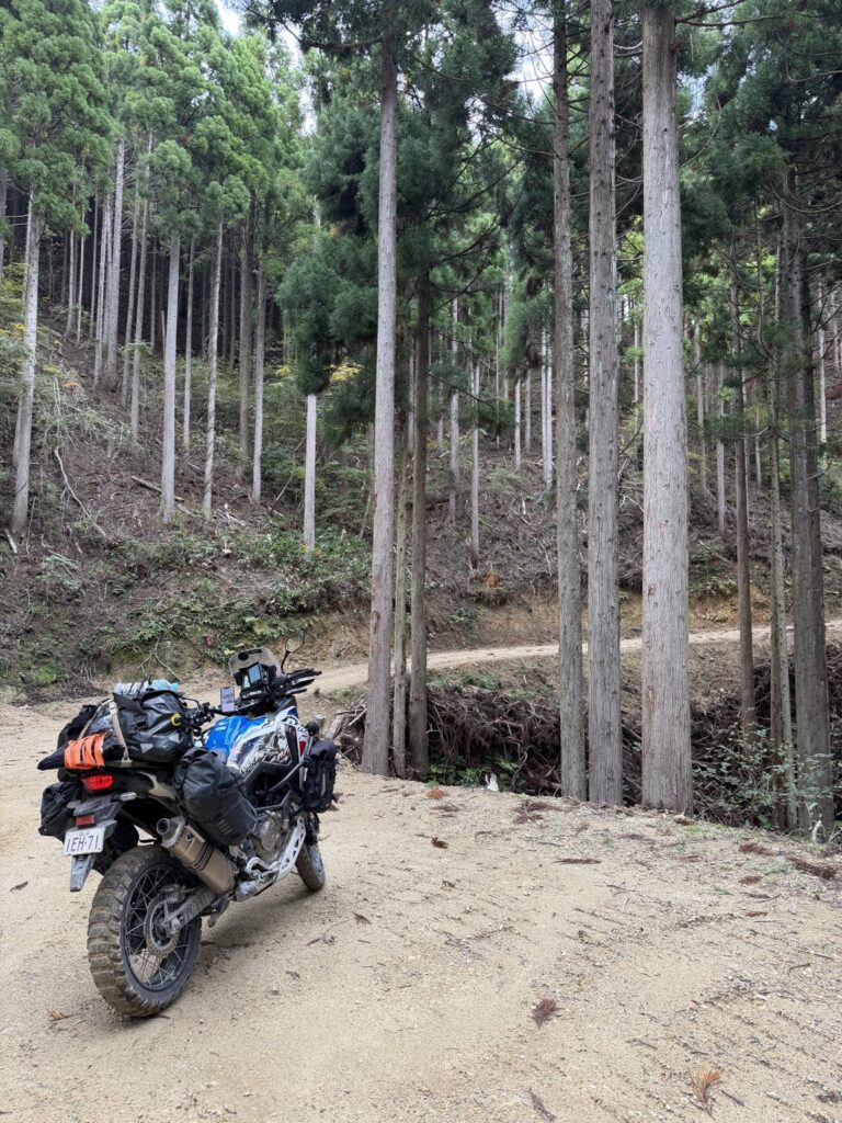
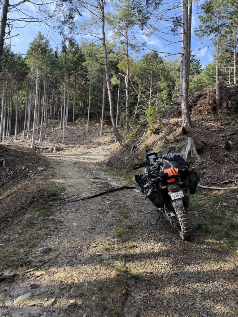
I left Hiroshima on 1 November, heading towards Miyoshi. That afternoon, the forest opened into a network of branches to explore. Some were missing from my navigation maps and looked freshly cut, probably for forestry, although I did not verify their age or purpose.
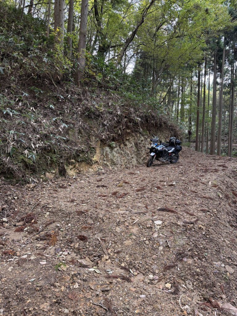
Much of the track was firm gravel. Farther in, the ground softened and the drains crossing the road grew deeper. Some patches became sticky when wet. With luggage aboard the heavy Africa Twin, the riding became more demanding.
Around 3 p.m., I underestimated the space needed to turn. Stuck without enough room, I deliberately laid Silver down, rotated her roughly 180 degrees on the ground and lifted her back up facing the way out.
I also spotted deer sitting on the road and managed to capture good footage of them.
The trail continued beyond my turnaround. Riding solo, I chose to leave before softer ground or fading daylight could catch me out. With more time, drier conditions or somebody alongside, I would have liked to explore farther.
My impression was that a lighter bike, or a companion to help if things went wrong, would make these branches easier to explore.
The GPS remains near the turnaround from about 14:49 to 15:40, then returns near the entry reference at 16:06:41. That fits my recollection of coming back out between 4 and 5 p.m. I continued to Miyoshi and stayed at Hotel Alpha-One Miyoshi for two nights, 1-3 November.
RECORDED EXCURSION / approx. 16.3 km / 14:04:59 – 16:06:41 JST
Surface, timing and the recorded line
OUT-AND-BACK: FULL RECORDING
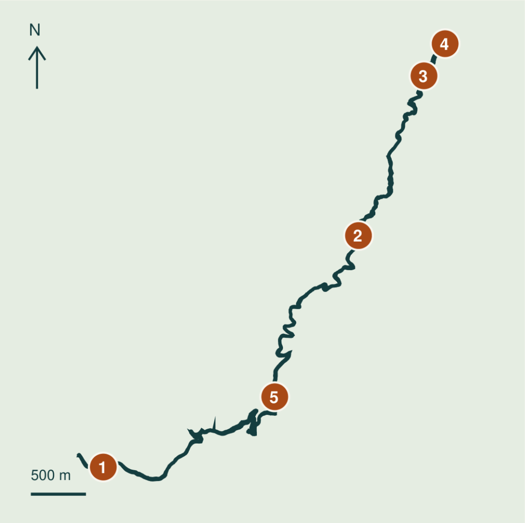
FIVE REFERENCE COORDINATES
- 01 14:05 entry reference
34.933113, 132.654267 - 02 14:29 on dirt
34.952000, 132.679667 - 03 14:43 on dirt
34.965033, 132.686187 - 04 15:00 turnaround vicinity
34.967653, 132.688293 - 05 16:00 return leg
34.938847, 132.671333
Entry is anchored to the recalled 14:05 time; the exact dirt boundary is unverified. The separate 11:25 semi-dirt section is excluded.
Original: 2,950 points, 16.3 km including stationary GPS drift. Shared GPX: exactly 49 points, 13.7 km, up to about 63 m simplification deviation; an overview, not precise navigation. Full-resolution GPX retained. The long stop supports the recalled turnaround location, but does not time the recovery manoeuvre itself. This historical record does not confirm current access.
Words and photos: a rider from Australia. A personal ride record from autumn 2026. Access and road conditions change; check current information before riding.